Sometimes the most important journeys happen when you're sitting perfectly still.
Matthew Fontaine Maury learned this the hard way in 1839, when a stagecoach accident shattered his leg and ended his promising career as a naval officer. At thirty-three, this son of a Louisiana farmer found himself trapped behind a desk at the Naval Observatory in Washington, watching younger men sail off to adventures he'd never experience again.
What happened next changed how humanity navigates the planet.
The Accidental Scholar
Maury had never been destined for greatness by conventional standards. Born in rural Virginia to a family that moved frequently, he received little formal education. While other boys his age studied Latin and mathematics in proper schools, Maury learned by watching the world around him. His father, a farmer with restless feet, moved the family to Tennessee when Matthew was five, seeking better opportunities that never quite materialized.
The young Maury possessed something more valuable than formal training: an insatiable curiosity about how things worked. He devoured every book he could find, teaching himself navigation, astronomy, and mathematics. When he secured an appointment to the U.S. Navy at nineteen, it seemed like his unconventional education might finally pay off.
For fourteen years, he sailed the world's oceans, serving on ships that carried him from South America to the Pacific. But unlike his fellow officers, who saw voyages as duties to endure, Maury treated every journey as a laboratory. He obsessively recorded wind patterns, current directions, and weather observations in personal notebooks that grew thicker with each voyage.
Then came the accident that seemed to end everything.
Grounded but Not Defeated
The Naval Observatory assignment felt like exile to a man who lived for the sea. Maury's new job involved managing charts and instruments—administrative work that most officers considered beneath them. But those dusty charts and forgotten logbooks became Maury's treasure trove.
He discovered that the Navy had been collecting oceanic data for decades without anyone bothering to analyze it systematically. Ship after ship had dutifully recorded wind directions, current speeds, and weather patterns, then filed their logs away to gather dust. Maury saw something different: a massive, untapped database of information about how the oceans actually behaved.
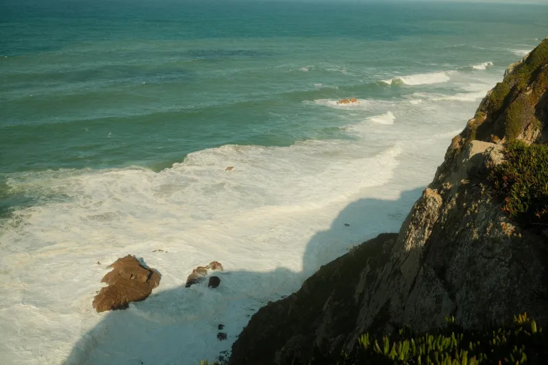
Working eighteen-hour days, he began plotting thousands of data points on massive charts that covered his office walls. Patterns emerged that no one had ever noticed before. The Gulf Stream wasn't just a warm current—it was part of a vast circulation system that connected oceans across the globe. Trade winds followed predictable patterns that could cut weeks off transoceanic voyages if captains knew how to use them.
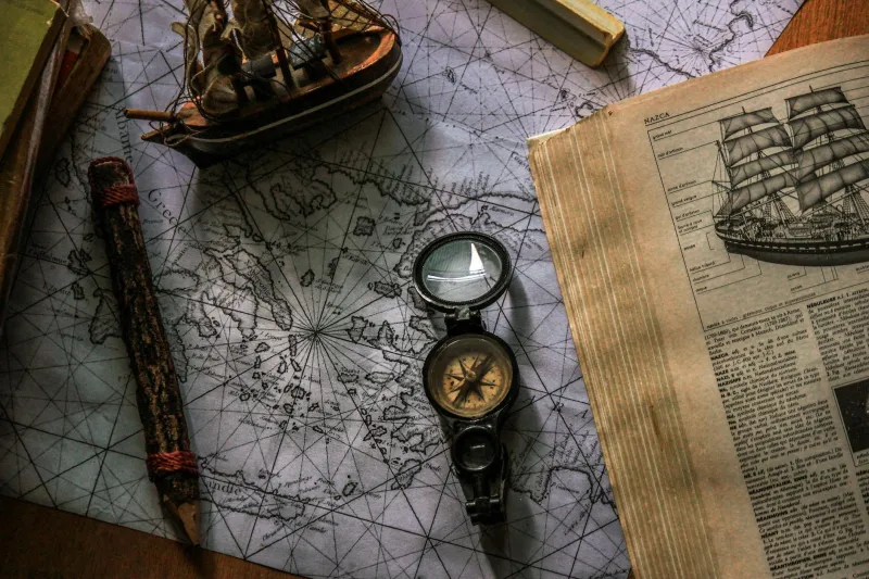
The Map That Changed Everything
In 1847, Maury published his first wind and current chart of the North Atlantic. It looked nothing like traditional nautical charts, which focused on coastlines and water depths. Instead, Maury's chart showed the ocean as a living system, with arrows indicating wind directions, numbers showing current speeds, and colored zones marking the best routes for different seasons.
Sea captains initially dismissed the charts as theoretical nonsense from a desk-bound officer who'd forgotten what real sailing was like. But the few who tried Maury's recommended routes discovered something remarkable: they could shave days or even weeks off their journey times.
Word spread quickly through maritime circles. The clipper ship Flying Cloud used Maury's charts to set a speed record from New York to San Francisco that stood for over a century. Commercial shipping companies began demanding that their captains follow "Maury's tracks." What had started as one man's obsessive data analysis became the foundation of modern navigation.
Beyond the Charts
Maury's influence extended far beyond shipping lanes. His systematic approach to oceanic data collection established the first international standards for maritime weather reporting. Ships from different nations began using standardized forms to record observations, creating a global network of data collection that continues today.
He wrote "The Physical Geography of the Sea," the first comprehensive textbook on oceanography, which influenced a generation of scientists and explorers. His work laid the groundwork for modern meteorology, helping people understand that weather patterns were connected across vast distances.
The broken-legged officer who couldn't go to sea had given humanity its first scientific understanding of how the oceans worked.
The Lesson in Limitation
Maury's story reveals something profound about innovation: sometimes our greatest limitations become our most powerful tools. Forced to work with existing data rather than collect his own, he developed analytical skills that active sea duty never would have taught him. His outsider status—a desk-bound officer studying the sea—gave him perspective that career oceanographers lacked.
When the Civil War erupted, Maury faced another crossroads. As a Virginian, he resigned from the U.S. Navy to serve the Confederacy, a decision that cost him recognition in his own country for decades. But his scientific contributions transcended politics, establishing principles that guided navigation long after the war ended.
Charting New Possibilities
Matthew Fontaine Maury died in 1873, having transformed from a farm boy with limited education into the father of modern oceanography. His story suggests that expertise isn't always about formal training or perfect circumstances—sometimes it's about bringing fresh eyes to old problems.
Today, as satellites track ocean currents and computer models predict weather patterns, we're still using principles that Maury discovered while sitting at a desk, analyzing data that everyone else had ignored. His broken leg had grounded him, but his restless mind kept sailing, charting territories that no ship could reach.
The next time circumstances force you to sit still, remember the man who mapped the moving world from behind a desk. Sometimes the most important discoveries happen when we stop moving long enough to understand where we've been.